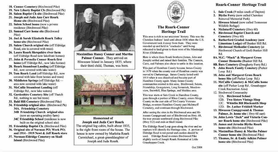
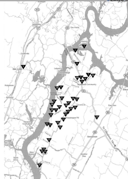
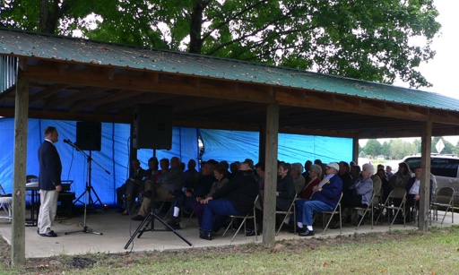
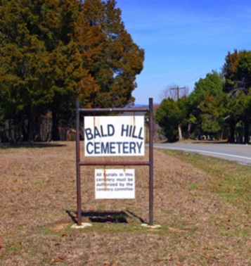
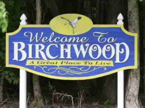
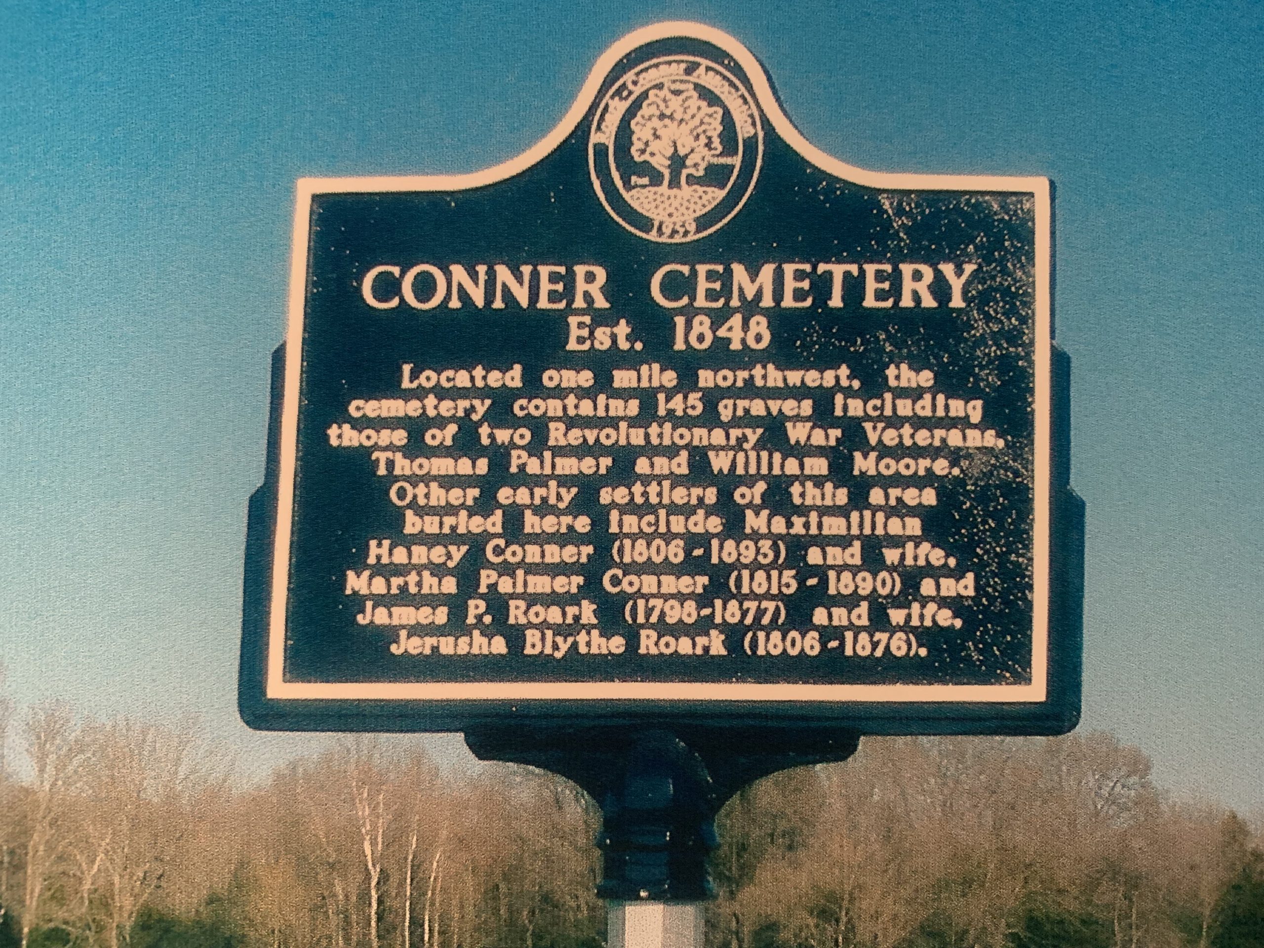
What is the Roark-Conner Heritage Trail? The Birchwood, TN area is rich in our ancestors’ history. This was the Cherokee Indians’ land until about 1836, when the U.S. Government took it away from them. They were rounded up and held in “stockades” until being relocated to land given to them west of the Mississippi River (Oklahoma). Here is where three Roark brothers (James, John, and Joseph) settled and raised their families. The Conners, Carrs, and Palmers also chose to settle in this location. The tour starts at Sale Creek in Hamilton County, goes through a portion of Rhea County, enters Meigs County on the east side of Trip-County Veterans Bridge, re-enters Hamilton County past McInturff Cemetery, and continues through Birchwood. After seeing the sites in the Birchwood area and Hiwassee Campground east of Birchwood on Highway 60, the tour moves south along Birchwood Pike (Highway 312) and ends at Skull Island. The Eldridge Road Loop goes along the river and no markers will identify the Heritage sites. Eldridge Road re-enters Birchwood Pike slightly north of Joseph Roark Homestead at Little Grasshopper Creek. (Narrative taken from the Heritage Trail Insert.)
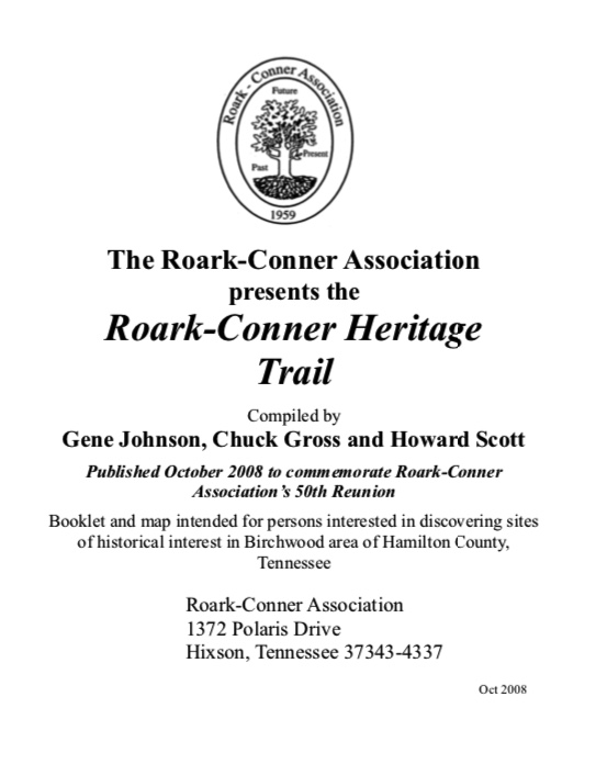
The Heritage Trail Guide Booklet was developed in 2008, by Gene Johnson, Howard Scott, and Chuck Gross. They produced the Booklet for the 50th Reunion to provide a self-guided tour for family members. The Booklet and map remain useful for touring the R-CA historic sites around Birchwood, TN. However, a few changes have taken place since 2008. There are plans to update this Booklet in the future.
If you have information to add, or corrections to make, please email: BoD@Roark-Conner.org
View the booklet, map and insert below: